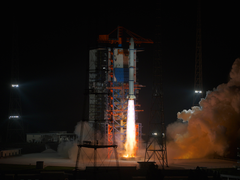
Satellites offer better weather forecasting

Higher spatial resolution and shorter imaging time are key to further developing China's meteorological satellites to better forecast weather-related disasters and facilitate economic activities, experts say.
China currently has seven Fengyun series meteorological satellites in operation.
Yang Jun, director-general of the National Satellite Meteorological Center, said that improving resolution and shortening imaging time can aid forecasters in making more accurate weather reports in smaller areas.
"For example, refined technology of satellites can provide timely detection and reporting of strong convective weather such as torrential rain or forest fires, which usually arise quickly in a given area," he said at the Fengyun Satellite User Conference on Wednesday.
Tang Shihao, a meteorologist at the center, said that improved meteorological satellites can also offer more accurate data monitoring in sectors such as agriculture, forestry, water resources, transportation and aviation.
"For example, satellites can facilitate economic activities by evaluating agriculture plantation coverage and growth conditions, giving references for urban planning and monitoring cloud and smog for flights and vehicles on the road," Tang said.
Yang said that China had previously been following Western countries as benchmarks.
"Over the past five decades, our satellites have surpassed some developed countries in several aspects," Yang said.
In 2021, China plans to launch Fengyun 4B, the second of the second-generation geostationary meteorological satellite series, according to a notice released by the China Aerospace Science and Technology Corporation in August.
The satellite will send back images with the highest spatial resolution of 250 meters every minute, a resolution that ranks top among meteorological satellites across the world. It has been improved from the resolution of 500 meters every five minutes of the Fengyun 4A satellite.
A geostationary meteorological satellite orbits at the same speed as the Earth's rotation, at the height of 35,800 kilometers above the Earth. One such satellite can provide coverage of about one-third of the planet.
"Despite the progress we've made, achieving further development in the sector is still a very challenging issue that needs much more independent innovation," Yang said.
The World Meteorological Organization, an intergovernmental organization with a membership of 192 member states and territories, has included China's Fengyun series of meteorological satellites as a major component of its Global Earth Observation System.
Reporting by Li Hongyang (China Daily); editing by Wang Jingzhong